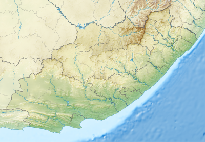
Templat:Location map South Africa Eastern Cape

| ||||
| nama | Eastern Cape | |||
|---|---|---|---|---|
| koordinat perbatasan | ||||
| -29.75 | ||||
| 22.5 | ←↕→ | 30.5 | ||
| -34.5 | ||||
| titik pusat peta | 32°07′30″S 26°30′00″E / 32.125°S 26.5°E | |||
| gambar | South Africa Eastern Cape location map.svg | |||
| image1 | South Africa Eastern Cape relief location map.svg | |||

| ||||